Roadside conservation
Roadside conservation
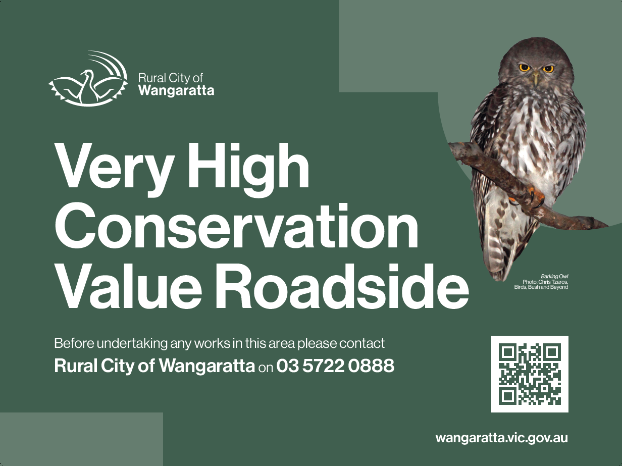
Roadsides contain some of the last remaining patches of our native grasslands, woodlands and forests that were once widespread across our region prior to European settlement. Roadsides with intact remnant vegetation may contain important cultural heritage sites. They also provide a network of habitat corridors in our landscape, containing food and shelter essential to the survival of our native wildlife.
We’re committed to promoting appropriate management of roadside vegetation to ensure environmental and cultural values are protected for the benefit of our community whilst also meeting key functional and fire prevention requirements.
The conservation value of rural roadsides has been determined using a combination of roadside vegetation assessment and existing data. Some Very High and High Conservation roadsides may have signage to help identify and promote their significance, however not all are signed.
You can view the roadside conservation value map here
We’ve created a handy guide Working together to care for our rural(PDF, 2MB) roadsides to support understanding of the value of our rural roadsides, what activities can be undertaken on roadsides and when a permit is needed.
Council are responsible for the control of declared noxious weeds and pest animals on rural roadsides through our annual Roadside Weed and Pest Program. Find out more here: Roadside Weed and Pest Program Fact Sheet(PDF, 794KB)
Controlled burning on roadsides
At times, we may need to do controlled burning on identified road reserves to reduce fuel and fire risk. We work with the CFA and Department of Energy, Environment and Climate Action (DEECA) to select the roads based on strategic fire breaks, identified fire risk, and the risk and control of biodiversity impacts.
Clearing roadsides of native vegetation is not a solution, it can increase fire risk because fast growing exotic species can invade the area and create a higher fuel load.
FAQs
You may need a planning permit from Council to remove native vegetation, including trees, shrubs and grasses. Please contact our planning department to discuss what you wish to do. They can advise you on the application process.
E: planning@wangaratta.vic.gov.au
No. Weed spraying is permitted, provided it is carried out in compliance with all other legislation. Weed spraying must be planned to avoid loss of native vegetation. All persons undertaking roadside weed spraying must hold appropriate qualifications such as an Agricultural Chemical Users Permit.
Yes. We are required to regulate activities on roadsides to protect public safety. Some activities on roadsides require the consent of the road authority to prevent degradation of the road itself or risk to the road users.
A ‘Works on Road Reserve’ permit is needed for ploughing, cropping or haymaking adjacent to council roads due to the equipment used.
Collection of firewood from reserves and roadsides managed by Council and Regional Roads Victoria is not allowed due to liability, legislative and environmental risks and penalties do apply for illegal collection.
Fallen timber and decomposing wood provides habitat, food and shelter for many types of native animals and is important for weed suppression, erosion control and nutrient cycling. Without an intact ground layer many species will not survive.
Residents of the Rural City of Wangaratta can purchase a permit to collect firewood when available from one of our two firewood depots. Check the Collecting Firewood page for details.
A permit is required for roadside grazing. Grazing is not generally allowed on High Conservation Value roadsides to protect the habitat of many animals and birds. You can find out more information on roadside grazing here.
You do not need a permit to move your stock along roadsides. However you can only do this during daylight hours. Find out more about droving and movement of livestock.