Redcamp Bridge Replacement - Boggy Creek Myrrhee
- Completion Date22 April 2025
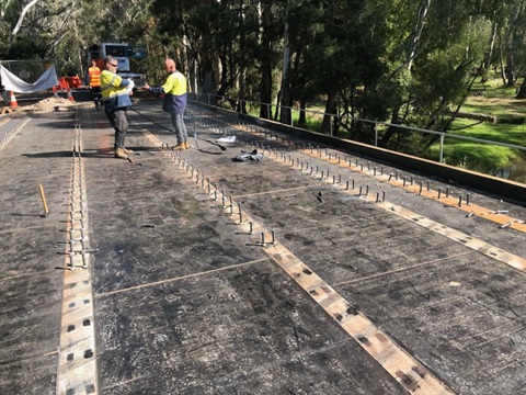
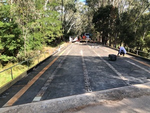
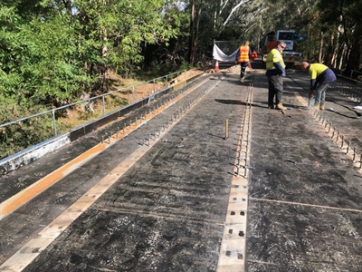
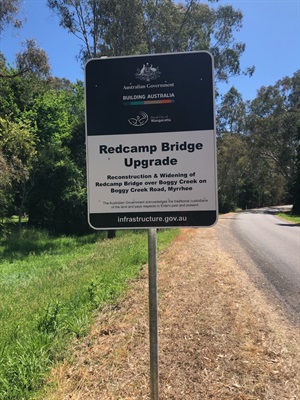
Redcamp Bridge over Boggy Creek will be replaced after a contract was awarded to Waratah Constructions Pty Ltd. The deck of the bridge will be strengthened to increase its capacity to T44. The deck overlay will be removed and new deck slab with additional structural steel beams along with double layer guard rails will be constructed for strengthening purpose.
Funding for this project has been provided by the Bridges Renewal Program (BRP), the Heavy Vehicle Safety and Productivity Program (HVSPP) and the Heavy Vehicle Rest Area initiative (HVRA).
FAQs
How long will the works take to complete?
Works commenced on 21 October and will continue through to April 2025.
The bridge will remain open on one side for the majority of the works, traffic controls are in place. Traffic lights each side of the bridge are currently installed and will assist in managing traffic down to a single lane until such time that the bridge will need to be closed fully.
What date will the Redcamp Bridge on Boggy Creek Road be FULLY closed to all traffic?
Redcamp Bridge will be fully closed to all traffic (both sides) from Monday 31 March until Tuesday 22 April 2025. If works need to extend past this date the VMS boards on site will advise the public road users of any changes to the road closure dates. Emergency Management Agencies are aware of this scheduled Bridge closure.
Why does the Redcamp Bridge need to be closed fully (both lanes)?
Both lanes need to be closed to allow the contractor to remove the deck (the surface on top of bridge that vehicles drive on) and install the new bridge deck.
How will vehicles and users of Boggy Creek Road be informed about the exact dates that Redcamps Bridge will be closed?
VMS boards are currently in place on either side of the bridge. The messaging on the VMS boards will continue to be updated throughout the works. The messaging will be updated at least one week prior to FULL bridge closure advising of the closure dates. Updates will also be provided here Redcamp Bridge - Boggy Creek Road, Myrrhree Rural City of Wangaratta
Can Council investigate other detour options closer to the site of works?
The land located either side of the bridge is private property.
Council has not been granted permission to provide a detour via the unnamed road (private land) off Evans Lane. Buses are also not permitted to travel on private land.
Depending on the direction of travel vehicles may choose to detour via Whitfield or Greta.
How will vehicles and users of this road be advised of the alternative route during the period of FULL bridge closure?
Traffic management and signage will be in place during this period. Council is currently advising that the proposed detour during FULL bridge closure will be via either Whitfield township or Greta.
How will I know when the road and bridge will be open?
Rural City of Wangaratta will post progress notes on this page and regular users of the road will be advised via the VMS display boards which are placed on the roadside.
Will my children be able to travel by bus to school?
To reduce the impact on families works will occur during the final week of Term 1 (31st March to 4th April 2025) and the first day of Term 2 (Tuesday 22nd April 2025). If parents have any questions regarding the bus travel arrangements in place during the period of works please contact Amy Waide - Education Support and District Bus Coordinator (03) 5723 0500. Families using the Department of Education Bus services will be advised on Tuesday 22nd April by the District Bus Coordinator if works are expected to extend past this date.
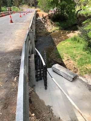

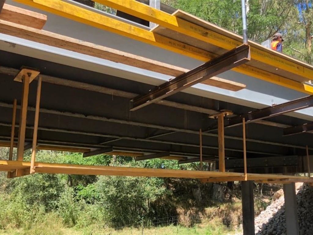
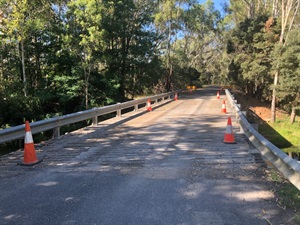
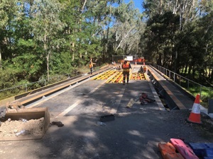
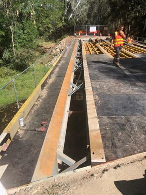
7 April 2025 - Steel Studs being welded to Beams
